Support
Contact Us
Menu
Support
Contact Us

NationalMap

New Zealand’s authority for nationally standardised geospatial data that is built, maintained and supported by our New Zealand-based team.

Get in touch
NationalMap Product

About NationalMap

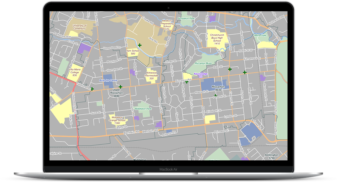
For 30 years, NationalMap has provided New Zealand organisations with authoritative and comprehensive road, address, and location data. Engineered with spatial display and analysis in mind, NationalMap is the trusted solution for businesses that rely on precise, standardised data to operate successfully.

How NationalMap can benefit you

Gain the confidence of having trusted, authoritative geospatial data as the basis of your business decisions. NationalMap’s offerings are designed to be flexible and customisable to meet your requirements, and easy to use with your existing GIS or CAD tools.

Key features

  • Fully navigable, standardised public and private road network of New Zealand
  • 305,000+ routable road, pedestrian and cycleway links
  • 2 metre accuracy
  • 2.3 million address records
  • 40,000+ points of interest and land uses
  • 3,000 edits made every week
  • 4 basemaps

There are smart ways to lower carbon emissions - let’s find yours!

Get in touch

Related blogs