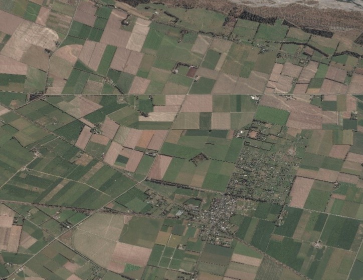
Satellite imagery and artificial intelligence provides land use insights to transform farming efficiency.

The changing nature of the primary sector means it needs to be certain that it has the right tools and data to meet current and future social, environmental, regulatory and sustainability challenges. Having the right land use and property data in place to make considered decisions is a key challenge.
We can help you gain the spatial intelligence you need to solve complex problems, from understanding total crop areas and volumes, to predicting likely yields in a topographic context. On a more macro level, we can help policy makers understand social, environmental and sustainability needs for improved policy development.